Cambridge to Frances River Trail Extension Project – 2020
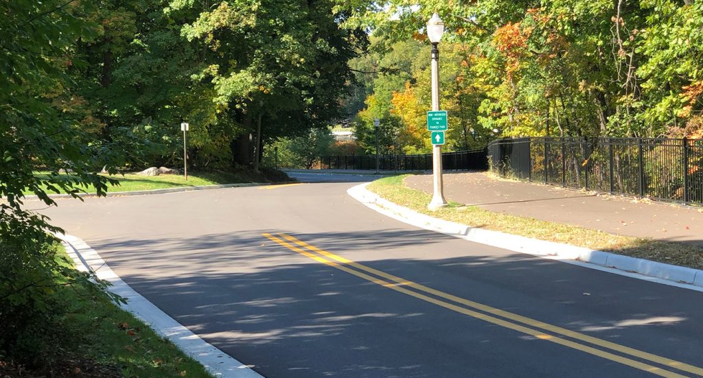
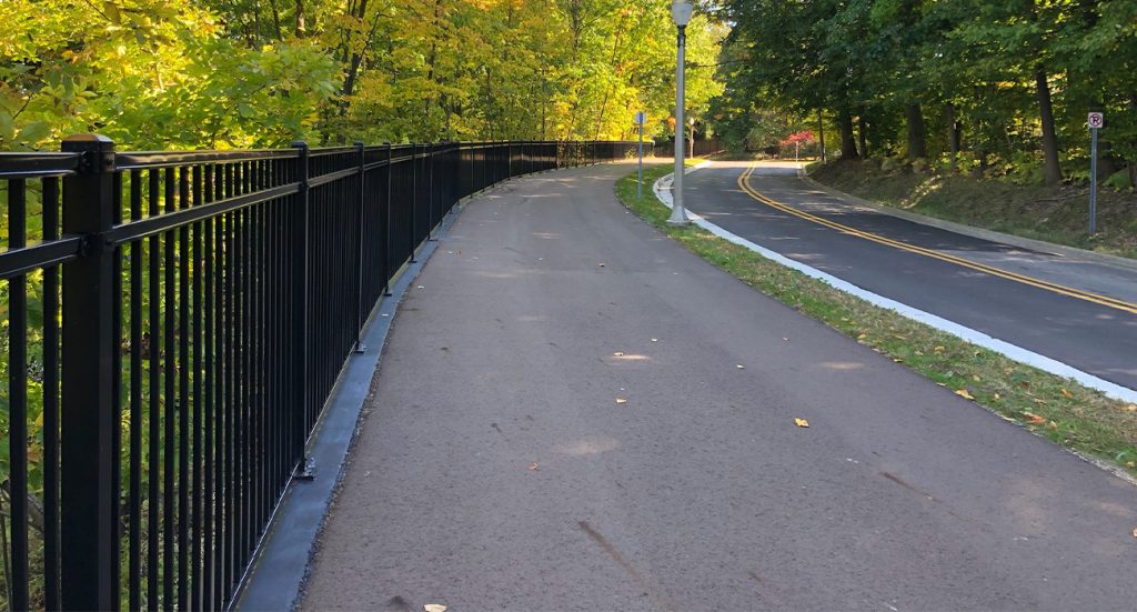
This project is partially funded by a DNR grant through the Department of Parks and Recreation. The project consists of extending the Lansing River Trail from the Frances Park entrance to Cambridge Road. The steep grade along the bank of the Red Cedar River presents several design challenges. Additionally, the City of Lansing Public Service Department partnered with Parks & Recreations to rehabilitate Moores River Drive and redesign the storm sewer system to eliminate two direct outfalls to the River.
This extension will connect the Moore’s River portion of the path and Frances Park to the residential neighborhood to the east with a crossing at the Cambridge Road intersection. This route follows Moore’s River Drive and provides a scenic route along the Grand River.
Key challenges of the project that were overcome:
- The route is an obvious challenge. Steep wooded banks had to be protected on the eastern section of this route to avoid erosion control issues down to the Grand River.
- The available budget for the project was a challenge given all the site constraints. Design recommendations proposed included a cost-effective route selection and details for construction.
The design team made certain to adhere to the following guidelines:
- AASHTO Guide for the Development of Bicycle Facilities
- MDNR Development Project Procedures
- Ingham County Trails and Parks Comprehensive Report March 2016, Standards & Best Practices
The design team reviewed the site and produced several alternatives, determining the best approach was to ensure that the trees between Moores River Drive and the river were protected. These trees serve as an important function by supporting the soils in the slopes. Removal of the trees and loss of the root mass would have caused significant erosion. In addition, the trees were an important part of the aesthetics of the route.
Due to the steep and wooded terrain throughout the potential trail corridor, the design team proposed to provide a supported trail located immediately adjacent to Moores River Drive. With a supported trail, a structural wall placed on the downside of the slope was envisioned. It would be backfilled in behind the wall and grade brought up to trail subgrade. The design team also narrowed Moores River Drive to provide additional trail width along the flatter areas at the top of the slope which helped to reduce the retaining wall height on the downhill side of the slope. AASHTO guidelines were used during the design of the trail and railings, resulting in 14’ wide clear width (10’ wide trail with 2’ wide shoulders) between the railing and potential vertical roadway separators with a railing located along the retaining wall on the river side. The roadway separator consisted of a new curb and a non-structural, visual vertical separator.
Existing trees were preserved wherever possible to maintain stability of the slope. Native and bioengineered plantings suitable for slope stabilization and restoration were utilized throughout the trail corridor along the steeper banks.
Project Information
City of Lansing, MI
Greg Satterfield
(517) 483-6936
$1,500,000
0.33 miles


